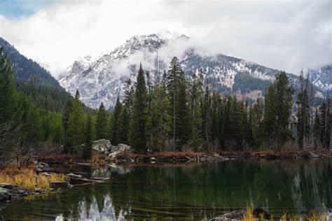
After leaving Yellowstone, the CDT passes through the Teton Wilderness, which contains views of the sharp, rough, ragged peaks that characterise the Grand Teton National Park.
There are no foothills here; the Tetons rise out of the earth abruptly, like a great wall, due to their lying entirely on the Teton fault. The mountains are formed entirely of an uplift of a segment of Earth’s crust that has been forced up along a geological fault line. This happened about 9 million years ago, and since then, the slow forces of the glaciers have sculpted the shape of the mountains and their valleys.
I had walked about 40 mi (64 km) through this wilderness section when I arrived at Two Ocean Plateau. I was intrigued by the name; we’re pretty inland here. As it turns out, this high alpine meadow gets its name from the so-called ‘Parting of the Waters’, a creek that suddenly splits in two, one side running to the Gulf of Mexico and into the Atlantic, the other heading to the Pacific. What’s truly amazing is that the stream runs exactly along the CDT, which means that a fish swimming upstream from the Atlantic could find itself swimming downstream towards the Pacific. Talk about a wrong turn!
I then dropped into Thorofare Valley and followed the Yellowstone River
upstream along this flat expanse for a day, now only a few miles from
Yellowstone National Park, where the wild still roams.


No comments:
Post a Comment
It's so good to see you here . . .